2023 Asian Conference on Remote Sensing (ACRS)に参加しました
概要
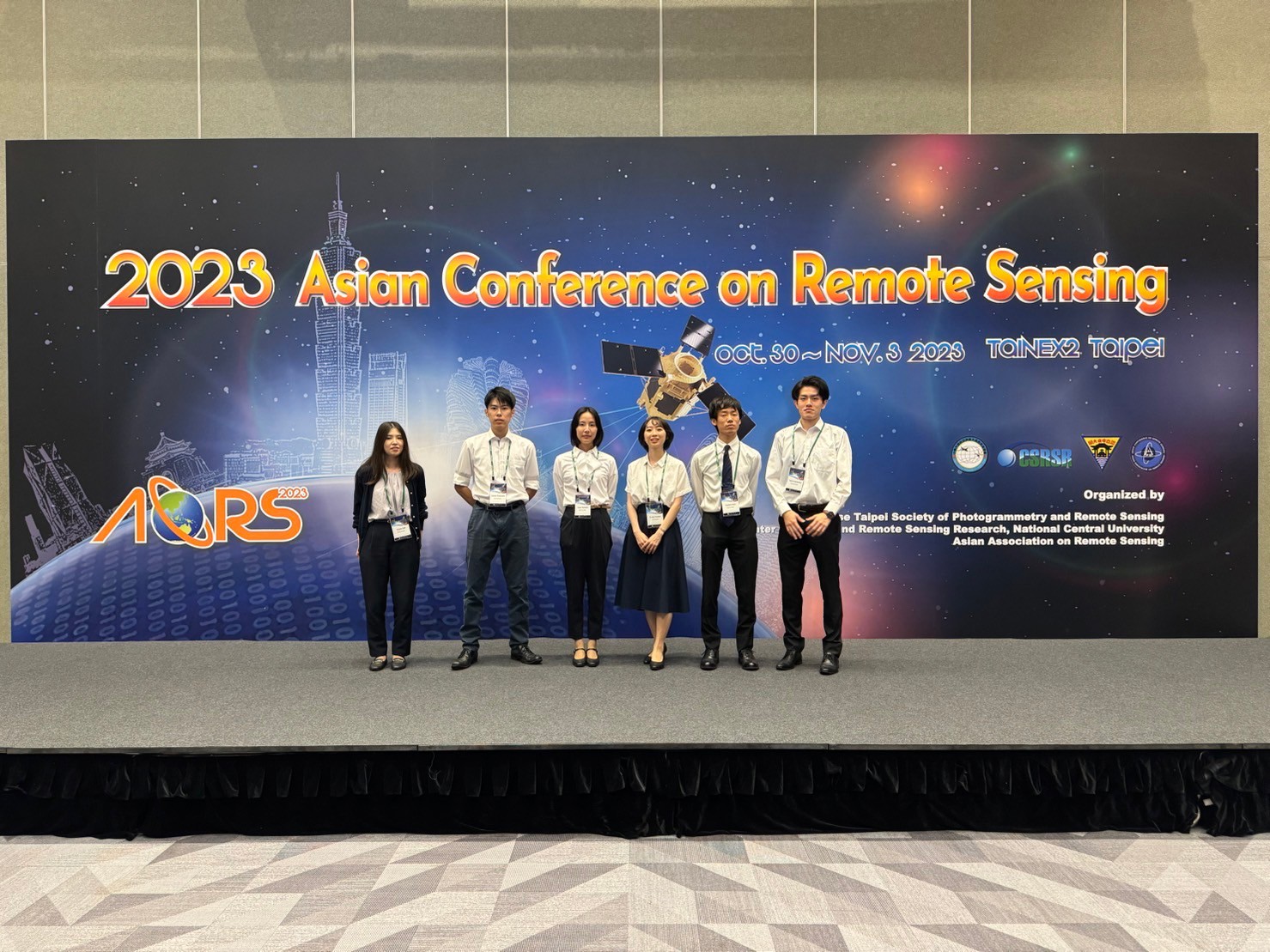
2023年10月30日から11月3日にかけて,台湾・台北・TaiNEX2にて開催された2023 Asian Conference on Remote Sensingに参加し,助教1名のほか,4名の修士2回生,1名の修士1回生が発表しました. アジアの研究者の方々から厳しいご指摘や鋭いご意見を頂き,今後の研究活動に役立つ活発な議論を行うことができました. また,Banquet & Culture Night(懇親会)やYoung Scholar Night(若手参加者の交流イベント)などを通して,異国の研究者の方々と交流することができました.発表内容
会議名:「2023 Asian Conference on Remote Sensing (ACRS)」日時:2023年10月30日-2023年11月3日
| 発表者 | タイトル |
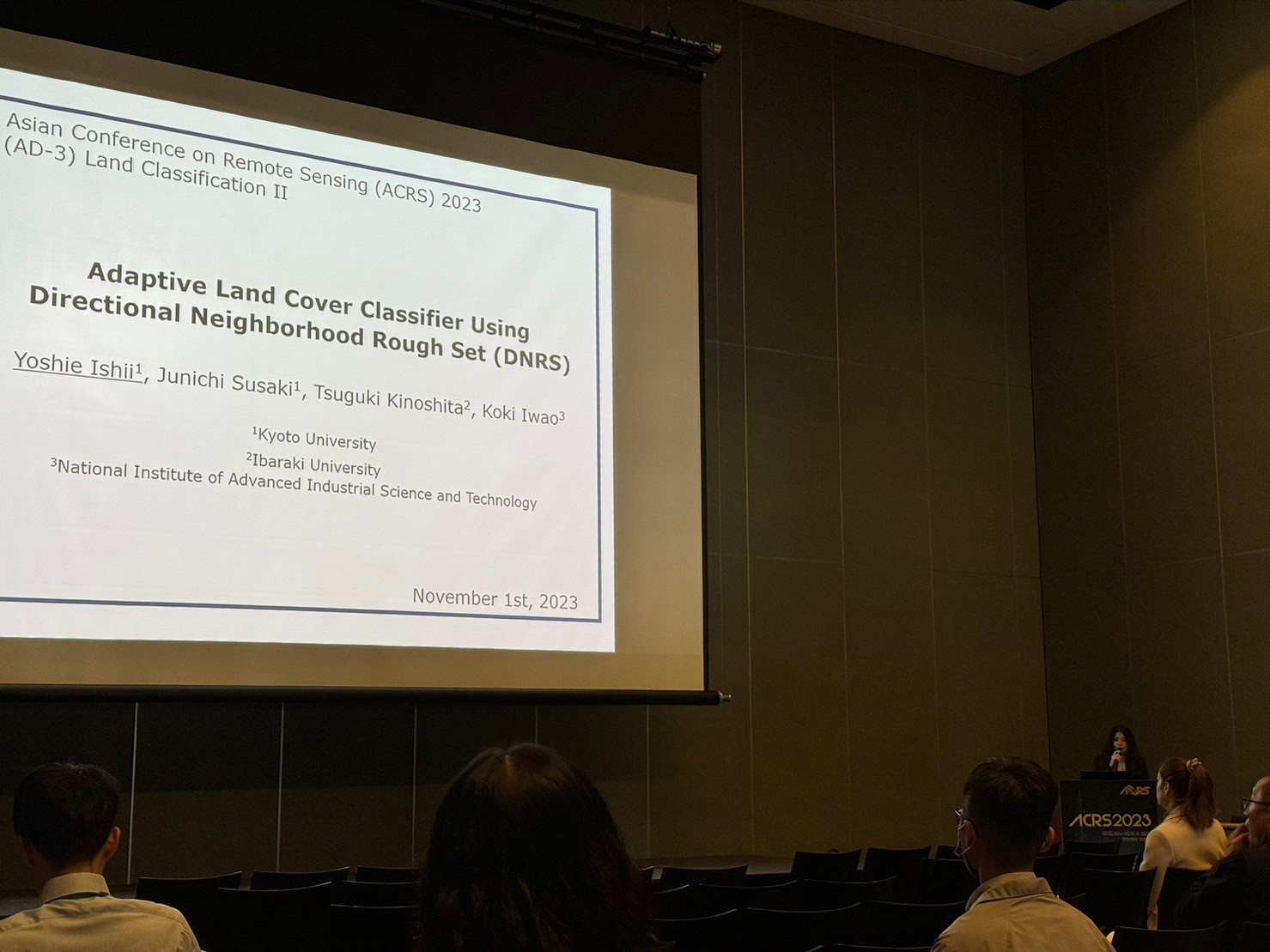
| 石井 順恵 (助教) | Adaptive land cover classifier using directional neighborhood rough set (DNRS) |
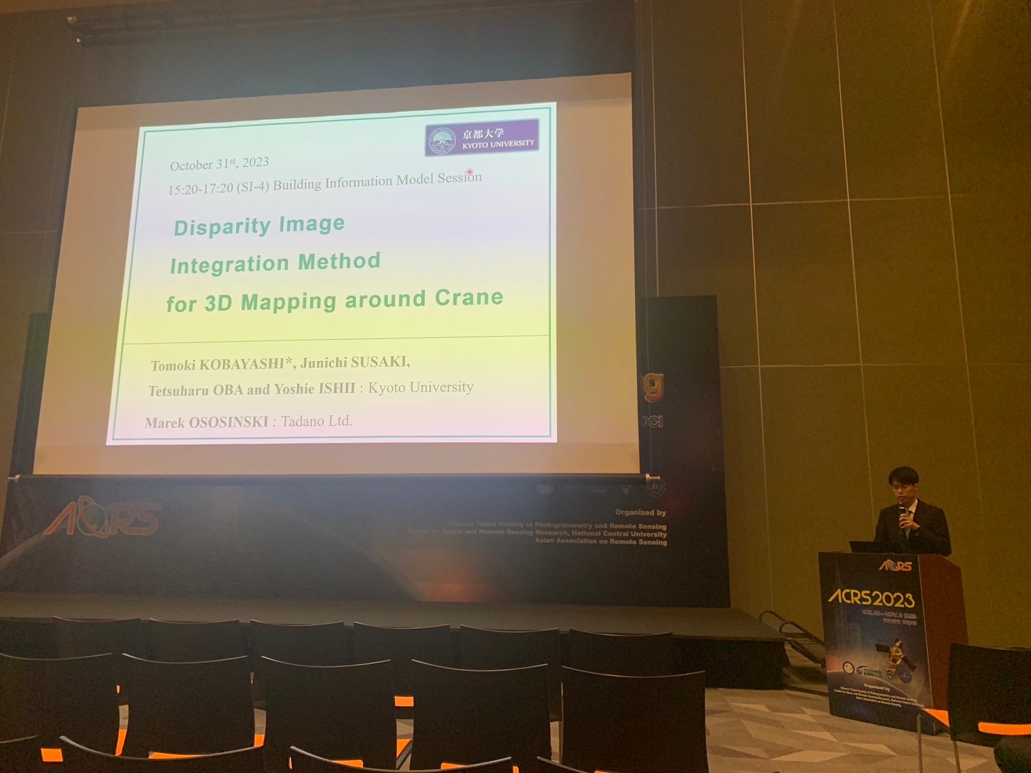
| 小林 知生 (M2) | Disparity Image Integration Method for 3D Mapping around Crane |
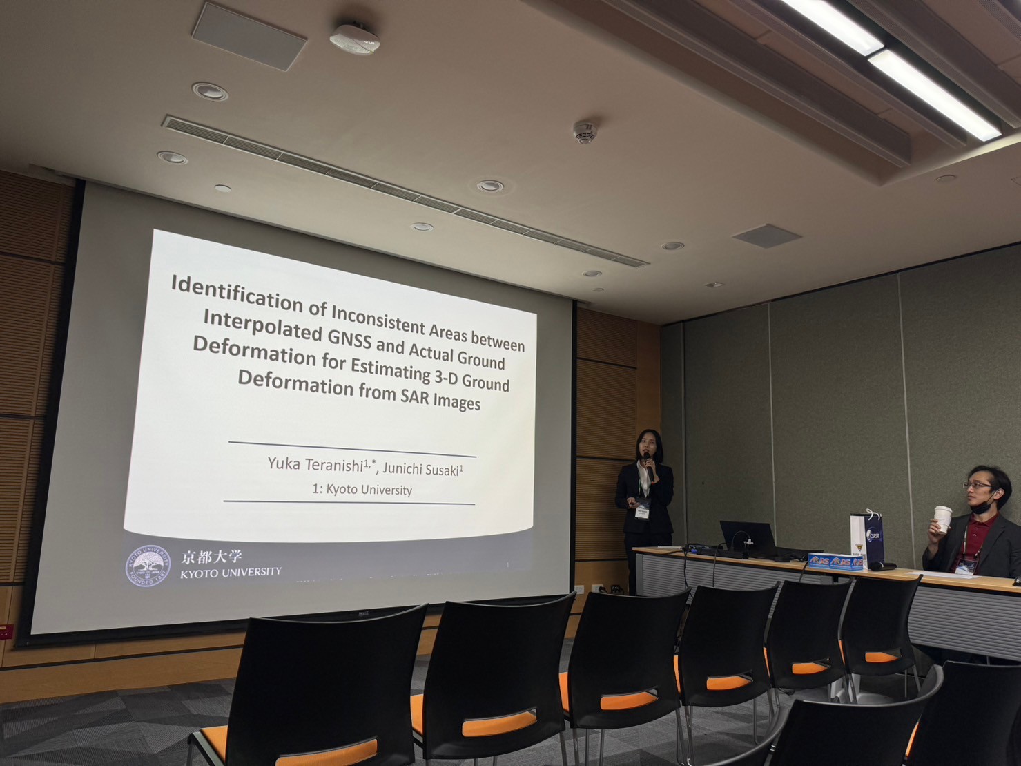
| 寺西 由夏 (M2) | Identification of Inconsistent Areas between Interpolated GNSS and Actual Ground Deformation for Estimating 3-D Ground Deformation from SAR Images |
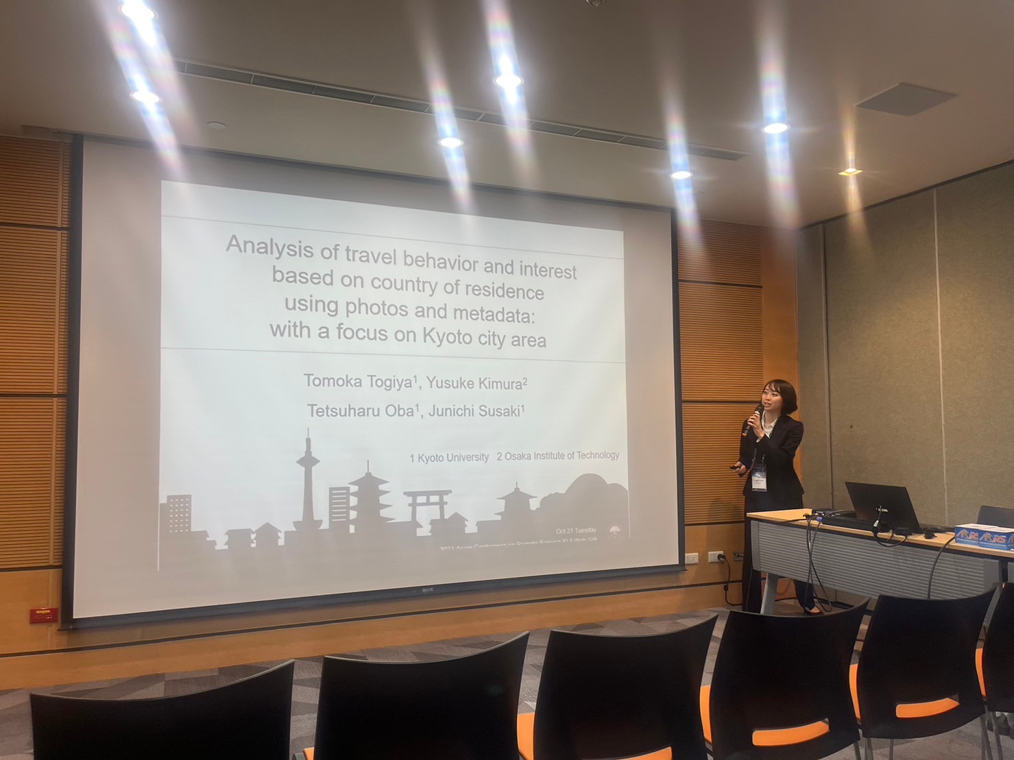
| 研谷 朋花 (M2) | Analysis of tourist behavior and interest based on country of residence using photos and metadata: With a focus on Kyoto City Area |
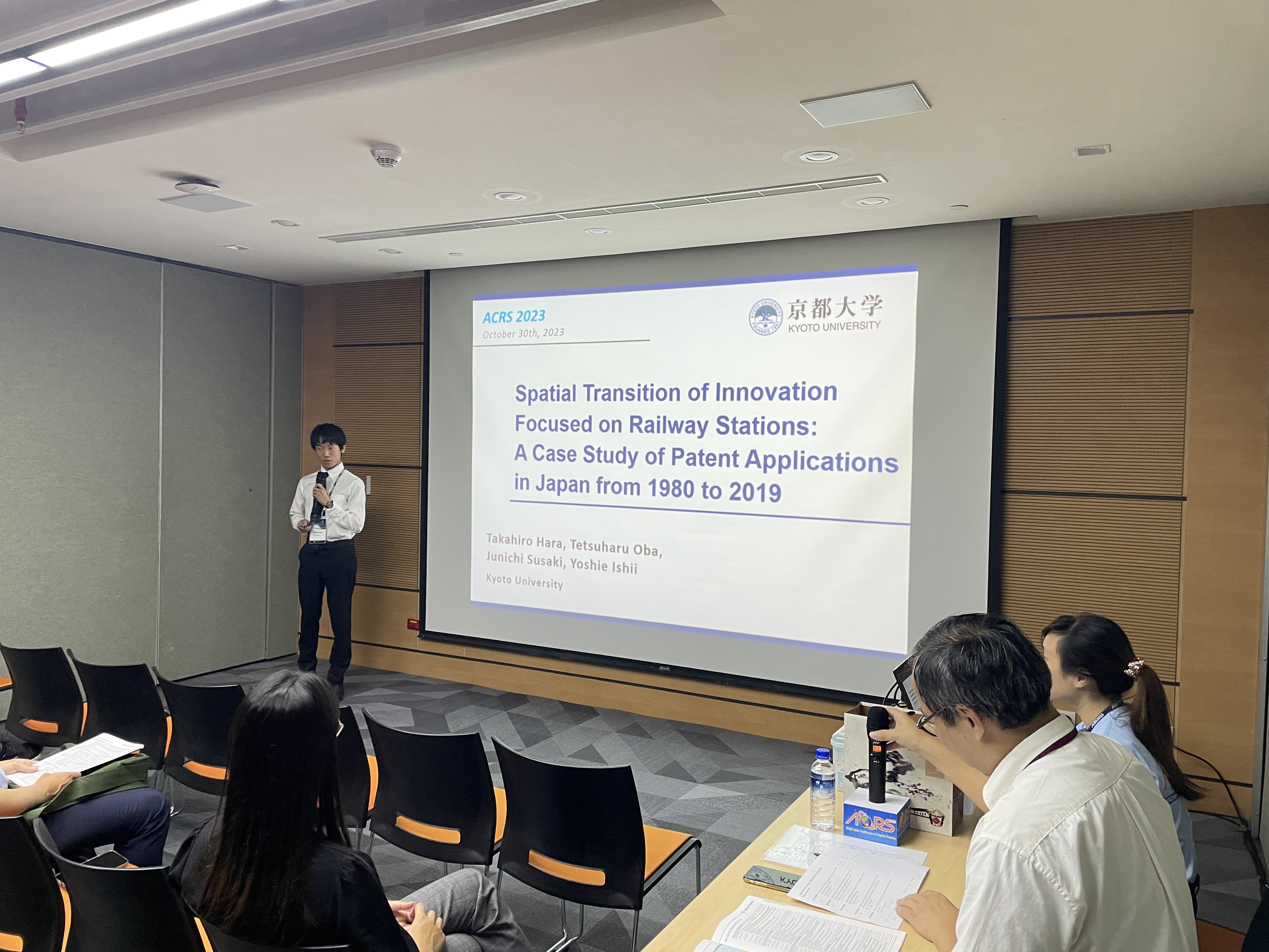
| 原 隆博 (M2) | Spatial Transition of Innovation Focused on Railway Stations: A Case Study of Patent Applications in Japan from 1980 to 2019 |
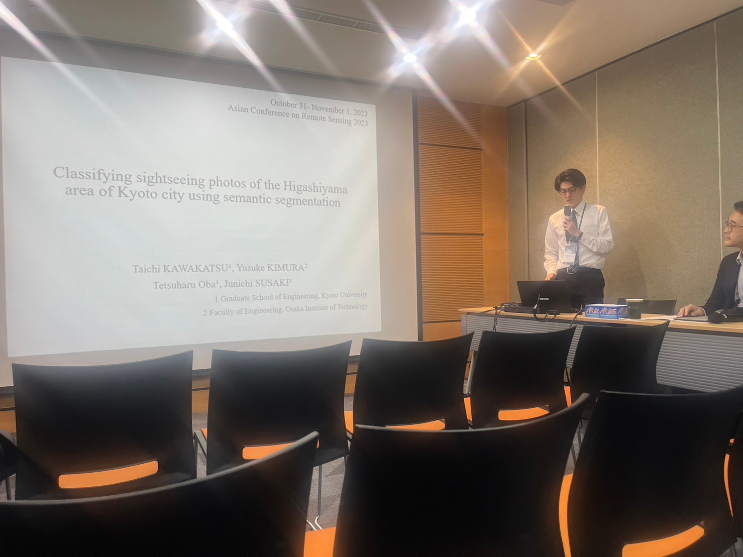
| 川勝 泰地 (M1) | CLASSIFYING SIGHTSEEING PHOTOS OF THE HIGASHIYAMA AREA OF KYOTO CITY USING SEMANTIC SEGMENTATION |